Planning a Weekend with a Paper Map
A paper map can turn a short trip into a more coherent journey by revealing distances, side roads, landscapes, and connections that a search box tends to hide.
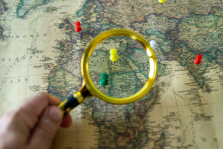
Digital maps are excellent at answering a precise question: how do I get from here to there? A paper map is better at a different kind of question: what else is nearby? Spread across a table, it shows the shape of a region before you have decided what matters.
For a short weekend, that wider view can be more useful than a long list of bookmarked places. It encourages you to choose one area, understand its scale, and build a trip from relationships rather than isolated attractions.
Circle a small region
Start by marking where you will sleep, then draw a loose circle around the distance you are willing to travel each day. Keep it smaller than your first instinct. A weekend gains character when the roads, villages, walks, and meals belong to the same landscape.
Look for the features that explain the place: a river valley, a line of coast, a ridge, a chain of small towns, an old road running between them. These shapes can become the structure of the trip. One day might follow the water; another might climb inland.
Mark anchors, not a timetable
Choose one or two things per day that you would be disappointed to miss. They might be a market, a garden, a museum, a particular walk, or lunch in a town you have wanted to see. Mark those in ink or with small removable notes.
Everything else can stay provisional. A scenic road, a village name, or a patch of woodland can be circled lightly as a possibility. This creates room for weather, appetite, and chance without leaving the day shapeless.
A good weekend plan has enough structure to keep you moving and enough blank space to let the place interrupt you.
Read the distance between places
Paper makes detours visible. Two locations that look adjacent in a search result may sit on opposite sides of a mountain or estuary. A road that appears minor may be the most beautiful part of the day. Contour lines, ferry routes, railways, and the density of settlements tell you how travel will probably feel.
Use the map scale once or twice so you have a rough sense of distance, then stop measuring everything. The goal is not precision. It is to avoid spending half the weekend crossing the same region repeatedly.
Take the marked map with you
Fold it to the section you need and keep it somewhere easy to reach. You can still use a phone for live navigation, opening hours, or a final street address. The paper map has already done its most valuable work by giving the trip a shape.
At the end of the weekend, keep the marks. A coffee stain, a revised route, and a few notes in the margin turn the map into a record rather than a tool to be reset. Months later, it can bring back the geography of the trip more quickly than a folder of screenshots.